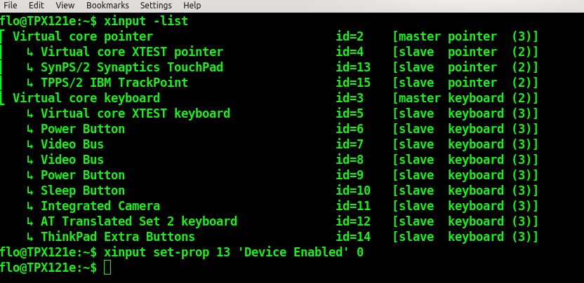
For Trackpoint-Users sometimes the touchpad can be quite annoying. So it can be useful to disable it (an just the trackpoint works). Solution for Linux (Kubuntu 13.04):
Get id of device with “xinput -list”
Diable it: “xinput set-prop ID ‘Device Enabled’ 0”
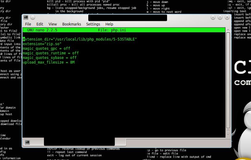
Kopieren des Scripts auf den Webspace – ACHTUNG: Vor dem Ausführen (http://URL/setup-owncloud.php) muss bei Domaingo auf die ZIP-Library in einem php.ini verwiesen werden (sonst bricht die Installation ab).
php.ini mit dem folgende Inhalt (ersten beiden Zeilen) in den Webspace zum setup-owncloud.php kopieren:
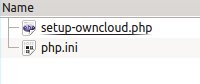
Diese beiden Files sind dann am Webspace:
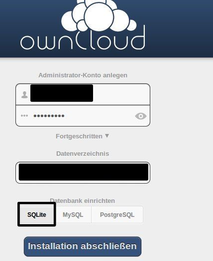
Anschließend das Script ausführen: http://yourURL/setup-owncloud.php
Nun kann ein User und die Datenbank angelegt werden (SQLite!)
Nach der Grundinstallation empfiehlt es sich die php.ini ins Installationsverzeichnis am Webserver zu kopieren und um die Zeilen im Screenshot zu ergänzen. Achtung: Die upload_size je nach Konfiguration des Webservers einstellen (–> phpinfo() )
The app GoogleTracks for Android-Smartphones is an easy to use tool for logging GPS-Tracks with your phone – & it allows you to export the Tracks to GPS and KML. So it’s no problem to get your tracks in your GIS-Software.
How-To with QGIS 1.8
Export your Track to GPX in GoogleTracks on your phone
Copy the *.gpx on your computer (or by the way mail it from your phone 🙂 )
You can directly open the GPX in QGIS with “Add vector”
Attention: GPS-Data is saved in GCS WGS84 ! If you combine it with layers in your national CRS be aware of using the correct transformation-parameters !
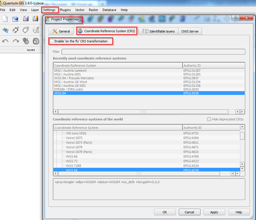
In QGIS it is possible (and it’s recommended) to define the project’s CRS (coordinate system).
For Austria MGI M31 use EPSG Code 31258. See screenshots attached.