Although *buntu is in love with snaps (snapcraft) to deliver and update apps on any Linux distribution, it was time to have a look on the new QGIS 3.4 Flatpak package. And using Manjaro with a dated QGIS-version (and non-GRASS) in its repo, Flatpak is the quick solution.
Since ArcGIS Pro 2.2 and QGIS 3.2 arrived recently, it was time to have again a look if and how the AT_GIS_GRID for CRS-transformation between Austrian BMN (Bundesmeldenetz) and ETRS89 (and WGS84) is implemented. The easy question: Does EPSG::5891 (AT_GIS_GRID NTv2 transformation) work out of the box ?
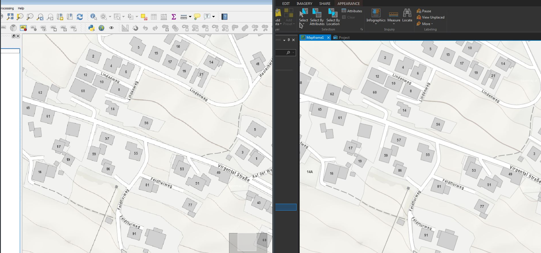
The upcoming QGIS 3.0 (www.qgis.org) is heavily under development and it was time to have a quick first glimpse on the recent developer-version (2.99-Master). QGIS 3.0 will be based on Qt5 and Python 3 – using the actual 2.99-Master was like “being at home” with some nice new furniture…
Using the WMTS-Service basemap.at in ESRI ArcGIS Pro (v 1.4) and QGIS (v 2.18) I discovered some differences in the display-quality of the WMTS-Service in both programs – while basemap.at was a beauty in ArcGIS Pro, the display-quality in QGIS was not that smooth… (@same extent etc.)
Is the widely pushed OGC Geopackage (GPKG)(http://www.geopackage.org/) ready for daily use – also as a replacement for the good old Shapefile as an exchange-format ? While QGIS already supports Geopackage (including direct editing) quite well for some time, the format starts to grow up in the ESRI environment. Some good news with ArcGIS Pro 1.4 …
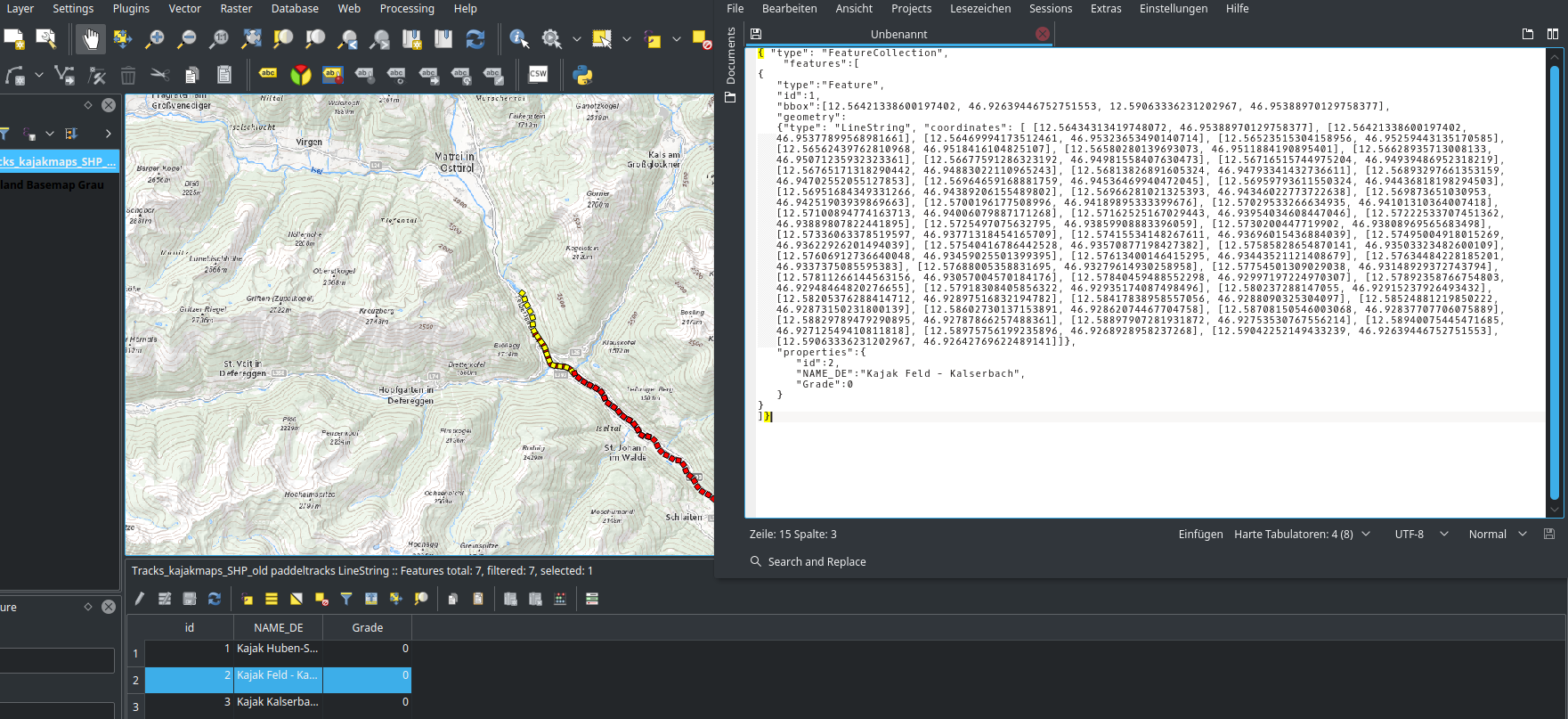
Fooling around with QGIS (v 2.18) global program-settings, I found some interesting setting. It allows the user to copy geo-features directly from the table to the clipboard as GeoJSON (geom + attributes). So, no “export to…” etc. is needed.
Today I had a first look at QGIS 2.99 developer/experimental (upcoming 3.0) and big advantages in supporting Geopackage (sometimes called “the new Shapefile”) are made – including editing-support.
As a QGIS-User on Fedora-Linux I was at first happy having QGIS 2.14.x (LTR) in the Fedora 24 repository. After installing it with DNF the problems started… QGIS had some missing dependencies:
Today I tried QGIS 2.13 (dev-version of the upcoming 2.14) and had a look at the now implemented support for “3D-Features” (2.5d support). It works well and makes the workflow described some months ago easier.
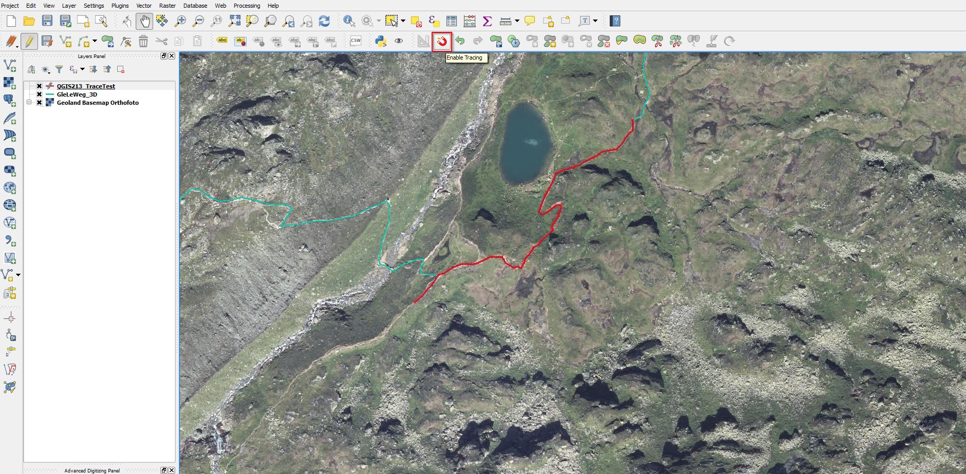
Today I started to test the developer-version of the upcoming QGIS 2.14 and found a nice feature integrated out-of-the-box. In previous QGIS-versions tracing along existing geometries required 3rd-party plug-ins (e.g. http://isticktoit.net/?p=131) – now it looks like integrated with QGIS 🙂
QGIS 2.14 Trace
Update 7.3.2016: Lutra Consulting describes all details in it’s Blog