Shapefile Top30 airports 2015 with passenger numbers 2013-2015 as an attribute – Downloads
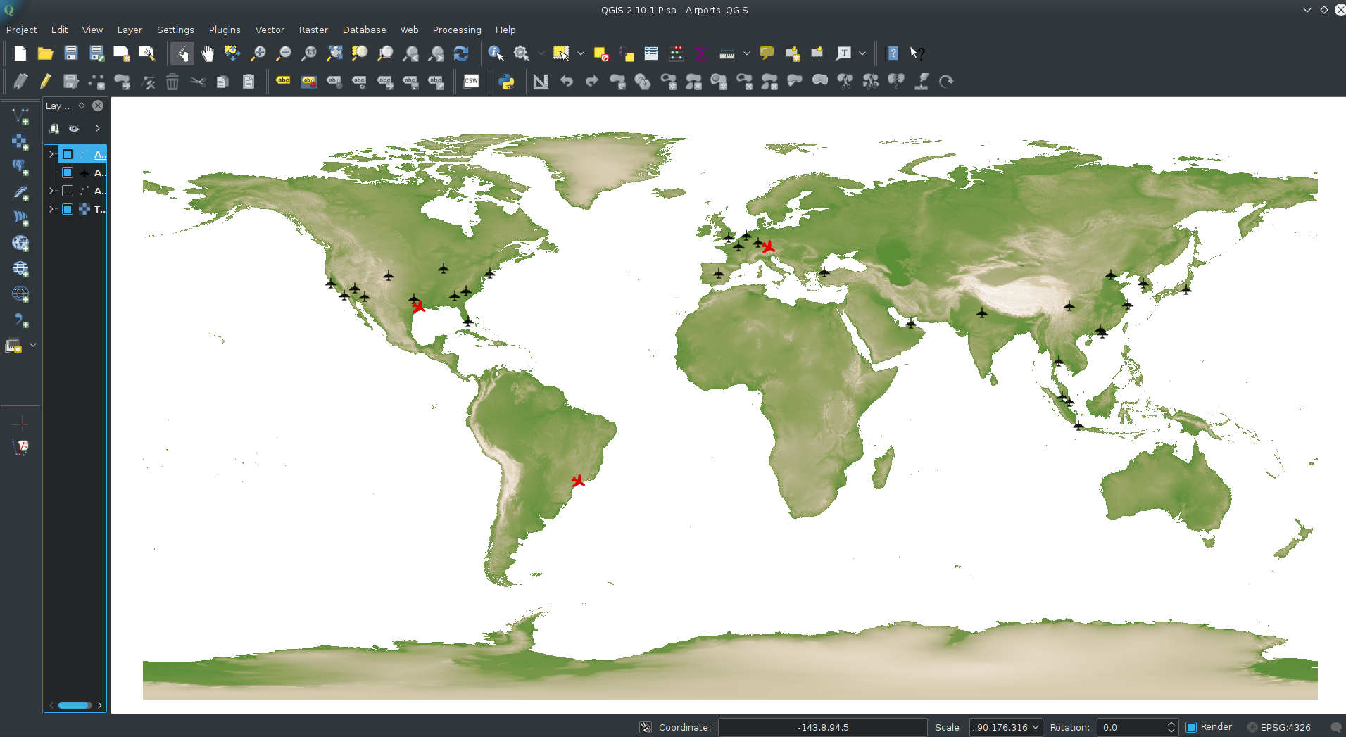
Shapefile Top30 airports 2015 with passenger numbers 2013-2015 as an attribute – Downloads
MongoDB (3.2) is a kind of database-hipster at the moment – with improving support for spatial data. So it was time for me to discover some of it’s features concerning spatial data. As a GIS-user my first intention was to get some bigger simple (point) geodata into MongoDB. Part 1 covers this topic, part 2 will cover some spatial operations within MongoDB. I also want to do some performance checks between PostgreSQL/PostGIS and MongoDB related to geodata.
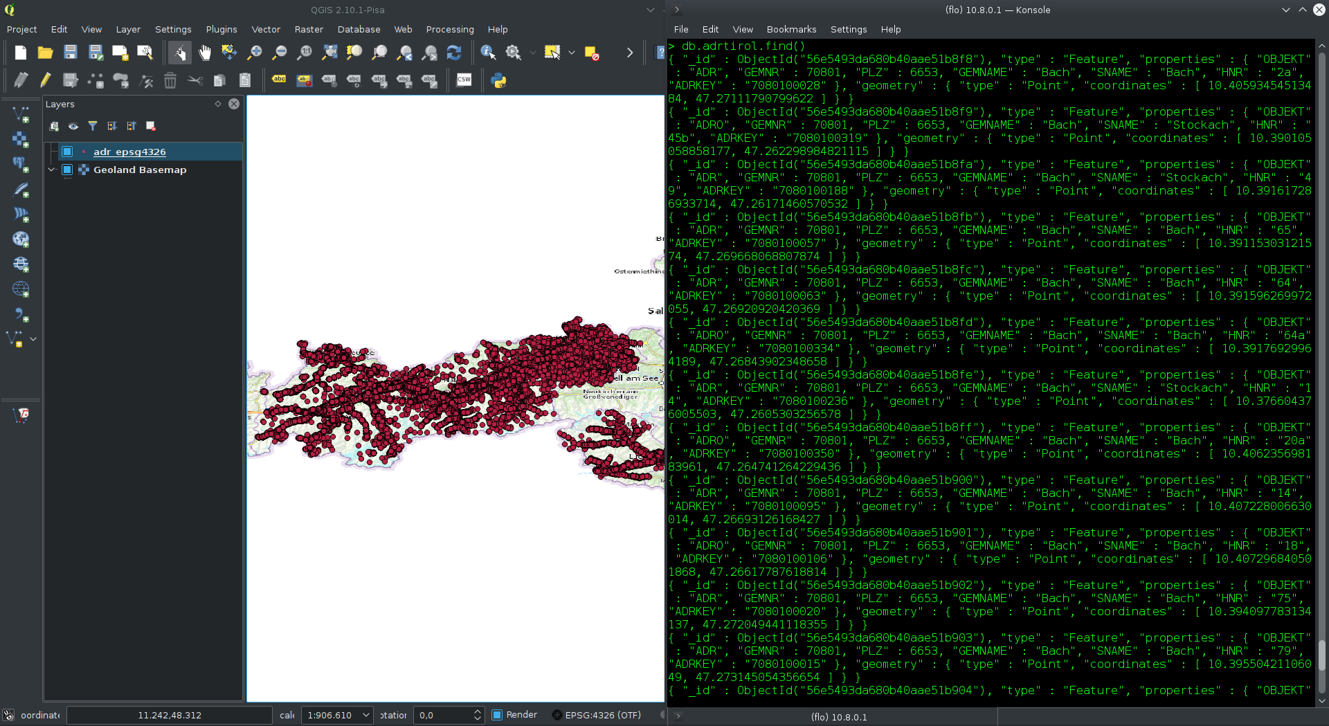
MongoDB and geodata part 1 – from Shapefile to MongoDB 3.2 weiterlesen
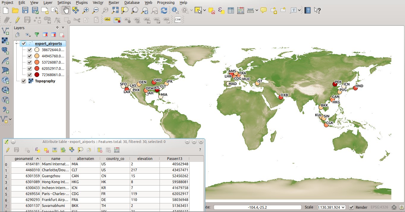
Shapefile Top30 airports 2013 and 2014 with passenger numbers as an attribute – Downloads
Gestern bin ich bei der Verwendung der basemap.at, einem sehr nützlichen WMTS-Dienst mit einer freien Grundkarte Österreichs, über einige interessante Neuerungen im Dienst gestolpert: eine neue “graue Grundkarte” und eine high-DPI-Variante der bestehenden basemap.at.
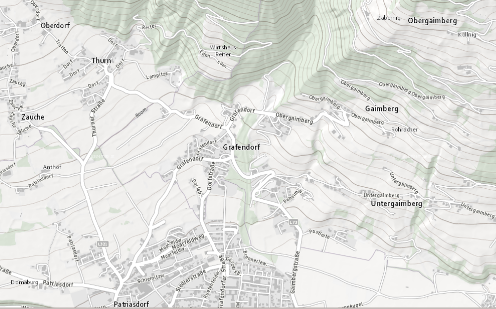
Österreich in “grau” und “highDPI” – neue Varianten der basemap.at weiterlesen